River's tales

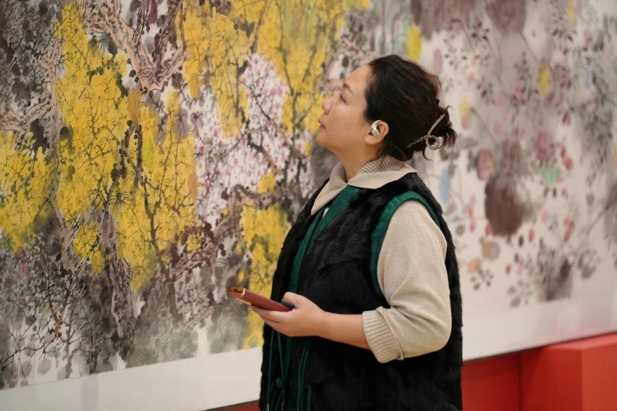
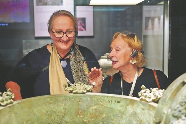
Zhao Yong, the exhibition curator, says some landscape paintings on show are precious and rare for public viewing, including Map of the Yangtze River.
The painting, one on silk by Qian Weicheng, an eminent painter and court official from the 18th century, is recognized as an important piece with delicate brushwork and orderly composition. It depicts the city scales and water systems along the Yangtze's middle and lower reaches in the mid-Qing Dynasty (1644-1911).
The paintings reflect people's exploration with the origins of the Yangtze.
The Great Yangtze River, a landscape on paper produced in 1861, shows the river scenery from the Minshan Mountain range to the estuary. Minshan, stretching from north to south in Gansu and Sichuan provinces, used to be considered the source of the Yangtze, till Xu Xiake, a renowned Ming explorer and geographer, found, after expeditions to Sichuan, that the Yangtze should be flowing out of somewhere more westward.
Next to The Great Yangtze River is The Complete Map of the Qing Empire from 1905 which pinpoints Mulusuwu, now called Gaerqu River in Qinghai province, as the main source. This, as Xu suggested, was actually further west. The headwaters of the Yangtze were confirmed as flowing from glaciers at the foot of Mount Geladandong in Qinghai as expeditions carried out in the late 1970s concluded.


