Best of geology, topography, botany & anthropology

It is good to see the two counties cooperating well with each other to manage the sizable scenic zone stretching across two provincial-level regions.
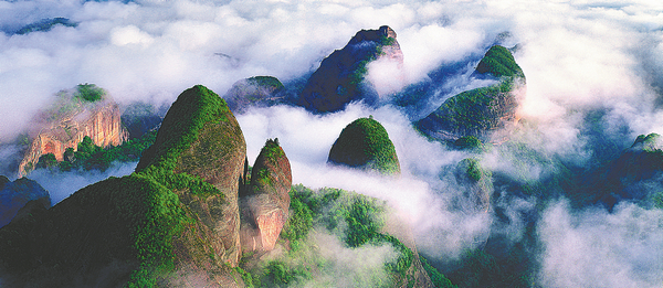
The highest of the eight peaks stands 818 meters above sea level, and the lowest 450 meters. There are about 130 scenic spots in the zone-many of which are microscopic landforms formed by water erosion-and sightseers can see them on the two sides of the delicately-designed travel routes meandering through the peaks. It takes about three hours to finish the tour on foot.
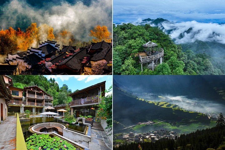
And they can also take the cableway, which provides a breathtaking view, especially when there is a sea of clouds on the mountains, making the peaks look like islands dotted in endlessly flowing clouds. Only when one sees all peaks together can one understand or marvel at the uniqueness of the place.
From the foot of the mountain, only on the Ziyuan side, people can see eight peaks, like they were eight dragon heads. So more tourists come to the mountains from the Ziyuan side, which is close to Guilin, an international tourist attraction known for its Lijiang River and karst mountains.


