Water study tackles climate issues


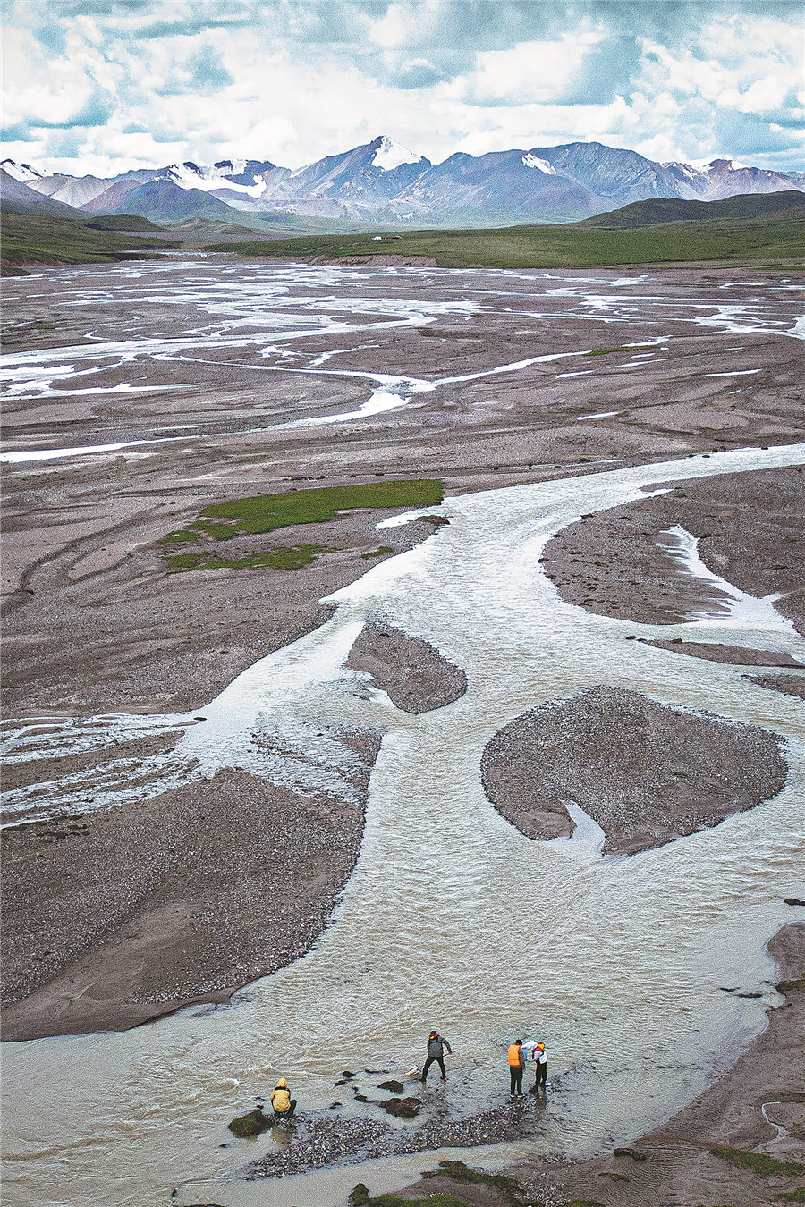
They have to confirm whether the main water source of the plateau lakes is precipitation or glacial melt water; how the water cycle between ice, lake, stratum and atmosphere is carried out; what impact will glaciers and lake changes have on future climate change.
They will use ground-penetrating radar to observe the thickness of the glacier, and then combine the height and other data accumulated in the previous period to calculate the ice reserves and changes.
Monitoring equipment is constantly being upgraded. Hong Xiaofeng, deputy director of the Water Resources Management Research Office at the Changjiang River Scientific Research Institute, has participated in many glacier expeditions. "Take a 3D laser scanner as an example, its scanning radius is 6 kilometers, and its accuracy is in millimeters. By superimposing the measurement results of different time periods, changes in glacier movement can be analyzed," he says.


