Hetao Plain

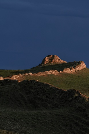
The Yellow River traverses 9 provinces and autonomous regions, while the Great Wall spans eight of them, excluding Sichuan province. The land within the pronounced "ji" shape of the Yellow River's major bend constitutes the Hetao region. In the Ningxia Hui autonomous region, the territory east of Helan Mountain belongs to Hetao, while in Inner Mongolia, Hetao encompasses the land south of Langshan Mountain and Daqing Mountain, where the Yellow River courses through. Renowned for its lush water and grasslands, this grand curve formed by the Yellow River has been celebrated through the ages. During the Han (206BC-220AC), Sui (581-618), and Ming (1368-1644) dynasties, the Great Wall was constructed in the Hetao area to effectively enclose all cultivable land within its fortified boundaries.
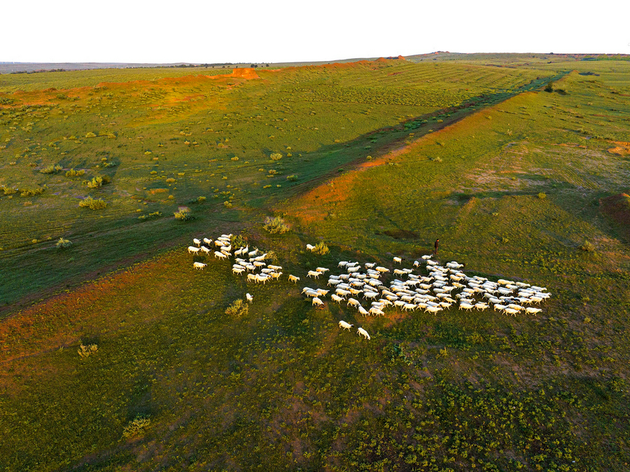
The Great Wall constructed in the Sui Dynasty (581-618): The Sui Great Wall was primarily erected as a defensive barrier against northern tribal invasions, notably by groups like the Turkic, Khitans, and Tuyuhun nomads. Emperor Wen and Yang of the Sui Dynasty issued orders to construct the Great Wall seven times in succession. Despite imposing significant economic and labor burdens, this effort did bring about positive results. Owing to its straightforward design and brief operational span, remnants of the Sui Great Wall are scant today.
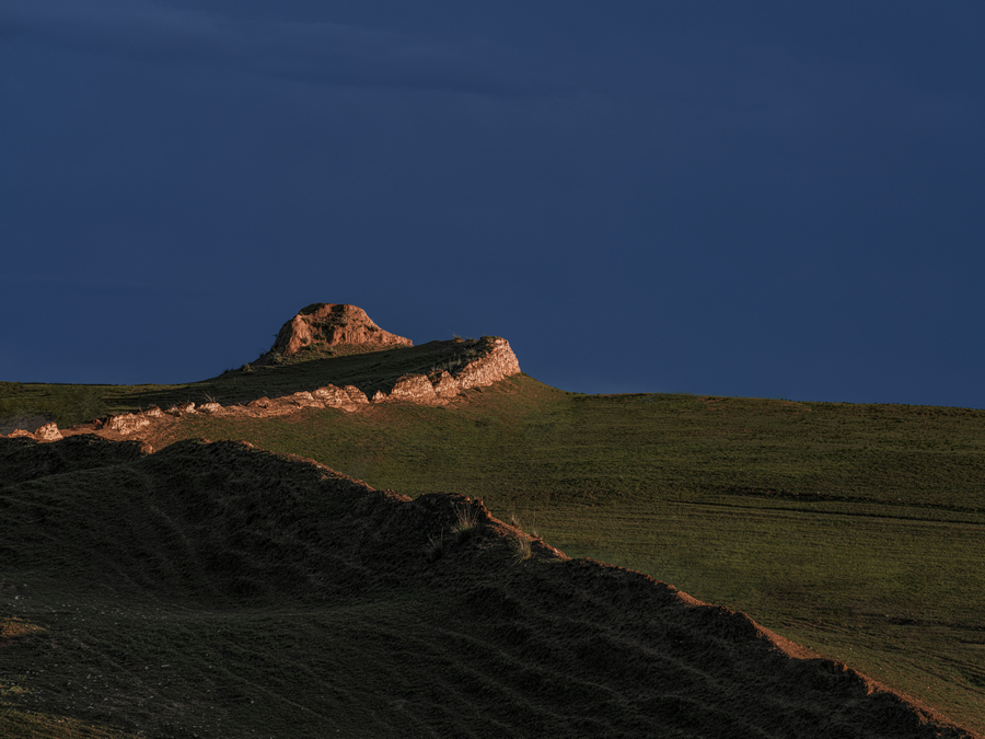

Ningxia Town of the Ming Dynasty (1368-1644): It was located in what is now the Ningxia Hui autonomous region. After the Yongle period, the Ming Dynasty gradually relinquished control over the Hetao Plain in Inner Mongolia, retreating to the Ningxia area. Due to its strategic location, Ningxia became a crucial passage for nomadic tribes moving southward. Consequently, the Ming Dynasty established the Ningxia Commander-in-Chief, marking the official formation of the Ningxia Town. The Great Wall in Ningxia comprises three sections: the Eastern Wall, the Northern Wall, and the Western Wall. The Northern Wall had two routes. The old Northern Wall started from Hengcheng in Lingwu county, Yinchuan, Ningxia, extended north along the Yellow River to the northern farms of Bayan Tohoi Town in Inner Mongolia, then crossed the Yellow River to reach the foothills of Helan Mountain northeast of Shizuishan city. The new Northern Wall lies to the south of the Old North Great Wall in Pingluo county, Ningxia.


